Services
We offer flexible solutions to fulfil clients spatial requirements and are prepared to think laterally to make sure the job is done accurately, safely, efficiently and on schedule.
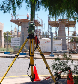
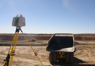
With a continued investment in up to date equipment we have enormous flexibility. Digital levelling, robotic total stations, RTK GPS and 3D laser scanning all combine to ensure that projects are completed efficiently and accurately.
Some of the services we provide are:
-
 Detail, topographic & contour surveys
 -
Earthworks, construction, drainage and road setout
-
Volume surveys & calculations
-
Monitoring surveys
-
GPS surveys
-
GIS data collection
-
Autolisp routines & Filemaker database development
-
3d Modelling
-
Point cloud data extraction
-
Genio MX generation
What can we provide?
The techniques used for detail mapping today can be utilised to supply spatial data for other purposes such as interior design, architectural modelling and GIS.